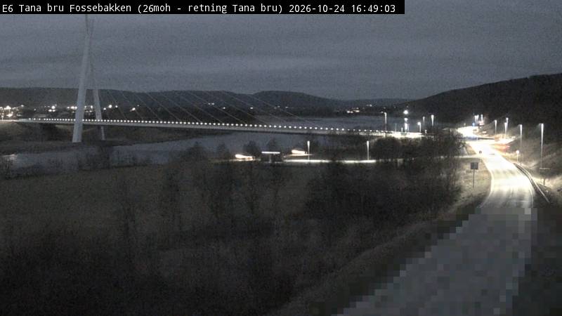
E6 Tana bru
Tana bru, Finnmark
Colour view of the floodlit Tana bridge and river, with a band of dark sky above.
Live hourly aurora score for Tana bru, Norway: NOAA activity, cloud cover, darkness and the moon, with the nearest webcams.
Tana bru, Finnmark
Colour view of the floodlit Tana bridge and river, with a band of dark sky above.

Nuorgam, Utsjoki, Finland
From Finland's northernmost village across the Teno river to the Norwegian fells; B/W at night.
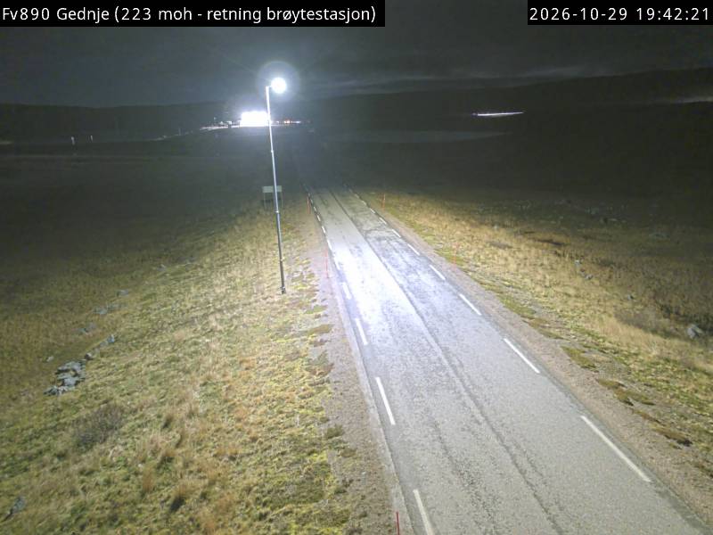
Gednje, Varanger peninsula, Finnmark
Very dark tundra plateau; a nearby lamp can partly wash out the sky.
Utsjoki on the Teno River, Finnish Lapland
Covers much of the northern sky; aurora streaming runs late August to early April.
Utsjoki, Finland · Seasonal
Long-running Utsjoki channel that goes live on aurora nights in the dark season; there is no permanent stream to embed.
Finnish Lapland (Kevo, Kilpisjärvi and other stations) · Seasonal
Scientific camera network, winter only; images are for teaching and non-commercial research.
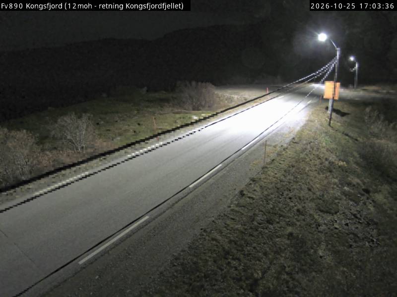
Kongsfjord, Berlevåg, Finnmark
Colour camera on the treeless Varanger peninsula; dark hills, a band of sky and few lights.
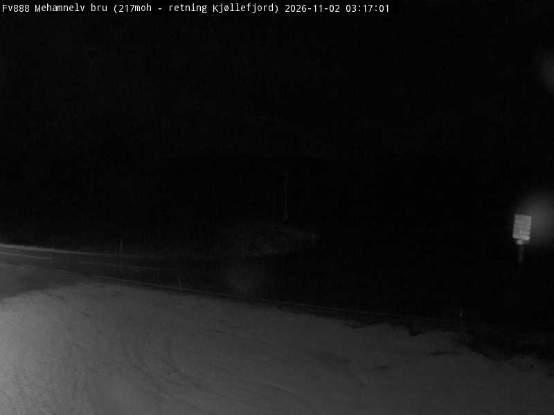
Mehamn, Nordkinn peninsula, Finnmark
Dark, treeless Nordkinn plateau with a low horizon and plenty of sky; infrared B/W at night.

Nuvvus, Utsjoki, Finland
Teno valley with fells on both sides and sky between them; infrared B/W at night.
Tana bru lies at 70.20° N in Finnmark, Norway, about 405 km north of the Arctic Circle. With a geomagnetic latitude of about 66.7°, it sits under the auroral oval: even quiet nights (Kp 1–2) can bring aurora overhead. Over the long term, a dark, clear night here has roughly a 75% chance of some visible aurora.
Darkness is never the problem in winter: the sun stays below the horizon from late November to mid-January, and nights with at least two hours of real darkness run from early September to early April. Between mid-May and late July the midnight sun makes aurora impossible to see. Around the winter solstice the sun is more than 12° below the horizon for about 16.5 hours a day.
Clouds decide most nights. The hourly score above uses the live cloud forecast for this exact spot; for trip planning, the Alta guide (188 km away) covers the best months and clear-night odds for the wider region.
Coordinates: Wikipedia. Magnetic latitude, Kp and darkness are calculated from them; the clear-night chance is a long-term average, not a forecast.