
Sør-Varanger Kirkenes – Himmelstigen
Kirkenes, Finnmark, Norway
Municipal camera in Kirkenes, close to the Russian border and inside the auroral zone.
Live hourly aurora score for Kirkenes, Norway: NOAA activity, cloud cover, darkness and the moon, with the nearest webcams.
Kirkenes, Finnmark, Norway
Municipal camera in Kirkenes, close to the Russian border and inside the auroral zone.
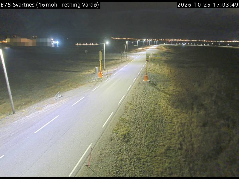
Svartnes, Vardø, Finnmark
Colour coastal camera looking towards Vardø; low horizon and an open Barents Sea sky.
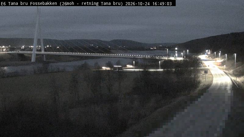
Tana bru, Finnmark
Colour view of the floodlit Tana bridge and river, with a band of dark sky above.

Nuorgam, Utsjoki, Finland
From Finland's northernmost village across the Teno river to the Norwegian fells; B/W at night.

Nitsijärvi, Inari, Finland
Lake view with a thin forest line; a very dark site, mostly sky; infrared B/W at night.
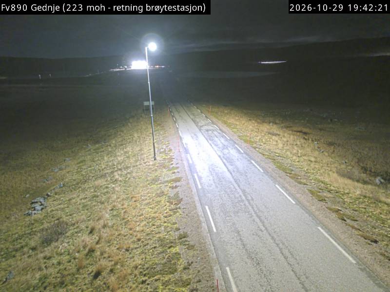
Gednje, Varanger peninsula, Finnmark
Very dark tundra plateau; a nearby lamp can partly wash out the sky.
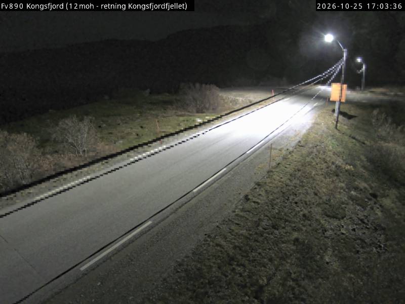
Kongsfjord, Berlevåg, Finnmark
Colour camera on the treeless Varanger peninsula; dark hills, a band of sky and few lights.
Finnish Lapland (Kevo, Kilpisjärvi and other stations) · Seasonal
Scientific camera network, winter only; images are for teaching and non-commercial research.
Utsjoki on the Teno River, Finnish Lapland
Covers much of the northern sky; aurora streaming runs late August to early April.
Kirkenes lies at 69.73° N in Finnmark, Norway, about 352 km north of the Arctic Circle. With a geomagnetic latitude of about 66.0°, it sits under the auroral oval: even quiet nights (Kp 1–2) can bring aurora overhead. Over the long term, a dark, clear night here has roughly a 75% chance of some visible aurora.
Darkness is never the problem in winter: the sun stays below the horizon from late November to mid-January, and nights with at least two hours of real darkness run from early September to early April. Between mid-May and late July the midnight sun makes aurora impossible to see. Around the winter solstice the sun is more than 12° below the horizon for about 16 hours a day.
Clouds decide most nights. The hourly score above uses the live cloud forecast for this exact spot; for trip planning, the Alta guide (261 km away) covers the best months and clear-night odds for the wider region.
Coordinates: Wikipedia. Magnetic latitude, Kp and darkness are calculated from them; the clear-night chance is a long-term average, not a forecast.